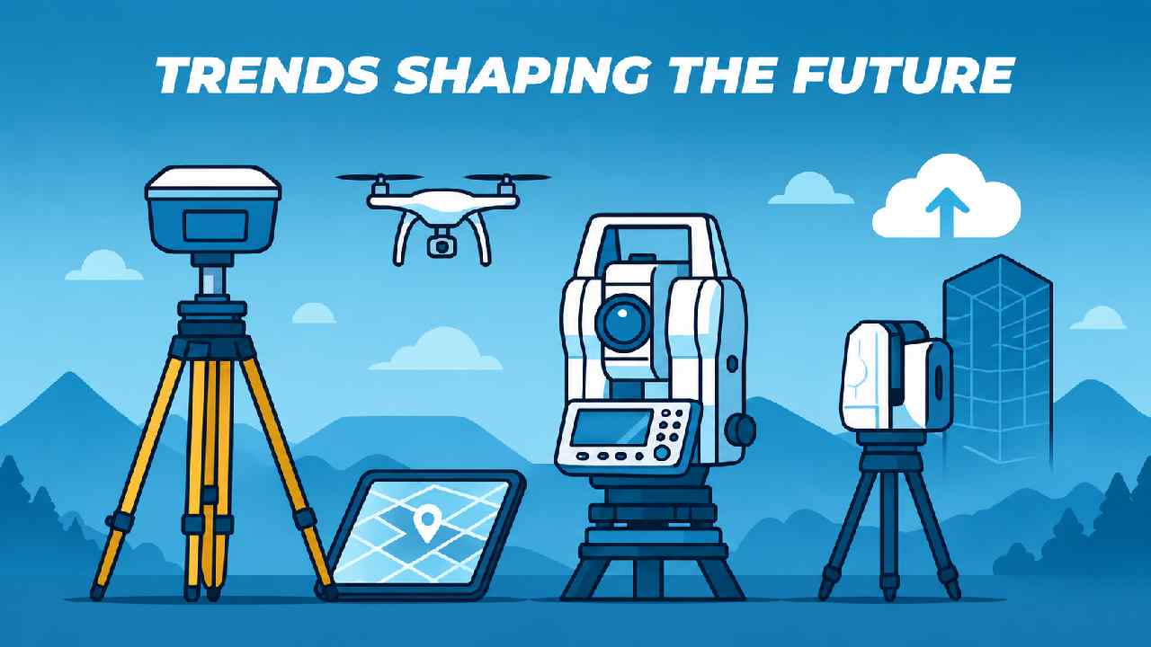
Mayumiotero – Surveying Technology has become one of the most important innovations in modern engineering and digital infrastructure. In the past, surveyors depended on manual equipment that required significant time and effort to measure land accurately. Today, advanced technologies have completely changed that process. Modern surveying combines satellite positioning, drones, laser scanning, artificial intelligence, and cloud-based software to deliver highly accurate spatial information within hours instead of days. Consequently, industries such as construction, transportation, mining, agriculture, and environmental management can make faster and more informed decisions. As infrastructure projects become increasingly complex, Surveying Technology continues to provide reliable data that supports planning, design, and long-term development. More importantly, its ability to improve accuracy while reducing operational costs makes it an essential solution for organizations worldwide.
Read Also: China’s Kimi K3 AI Model Emerges as a New Threat to US Technology Dominance
From Traditional Surveying to Intelligent Digital Mapping
The evolution of Surveying Technology reflects decades of continuous innovation. Traditional surveying relied heavily on measuring tapes, optical levels, and manual calculations. Although those methods established the foundation of modern surveying, they often required extensive fieldwork and multiple verification processes. However, digital transformation has introduced sophisticated equipment capable of collecting millions of measurement points automatically. Electronic total stations, satellite receivers, and advanced mapping software now work together to create highly detailed digital models. Therefore, surveyors spend less time correcting errors and more time analyzing valuable information. This shift has significantly increased efficiency while improving project quality. As technology continues to evolve, digital mapping has become an indispensable tool for governments, engineers, architects, and urban planners around the globe.
GNSS and GPS Have Redefined Precision Measurement
One of the greatest achievements in Surveying Technology is the integration of Global Navigation Satellite Systems (GNSS). These satellite-based positioning systems enable surveyors to determine exact coordinates with remarkable precision. Unlike traditional methods that required multiple reference points, GNSS allows measurements to be completed more efficiently while maintaining centimeter-level accuracy. Furthermore, Real-Time Kinematic (RTK) positioning has made field surveys even faster by delivering live correction data. Consequently, engineers can establish construction boundaries, transportation routes, and utility networks with greater confidence. The combination of satellite positioning and modern surveying software has reduced costly mistakes while improving project timelines. As infrastructure investments continue to increase globally, GNSS remains one of the most valuable technologies supporting precision measurement.
Drone Surveying Is Revolutionizing Data Collection
Drone surveying has become one of the fastest-growing applications of Surveying Technology. Equipped with high-resolution cameras, LiDAR sensors, and intelligent navigation systems, drones can capture detailed aerial imagery across large areas in a fraction of the time required by traditional surveys. Moreover, they allow professionals to access dangerous or difficult locations without exposing workers to unnecessary risks. Construction companies use drones to monitor project progress, while mining operators rely on aerial mapping to calculate excavation volumes accurately. Similarly, agricultural businesses use drone imagery to evaluate crop health and irrigation efficiency. Because drone surveys produce consistent and highly detailed datasets, they have become an essential tool for industries that depend on reliable geographic information. Their flexibility and efficiency continue to reshape modern surveying practices.
LiDAR Technology Creates Highly Accurate Three-Dimensional Models
LiDAR, which stands for Light Detection and Ranging, represents another major advancement in Surveying Technology. Instead of relying solely on photographs, LiDAR emits thousands of laser pulses every second to measure the surrounding environment. The reflected signals create dense point clouds that accurately represent terrain, vegetation, buildings, and infrastructure in three dimensions. Consequently, engineers gain access to exceptionally detailed digital models that improve planning and analysis. Urban planners use LiDAR to design transportation systems, while environmental researchers analyze forests, coastlines, and flood-prone regions. Even areas covered by dense vegetation can often be mapped successfully because laser pulses penetrate gaps within tree canopies. Therefore, LiDAR has become one of the most trusted technologies for high-precision surveying and digital terrain modeling.
Read Also: Eco-Friendly Buildings Are Shaping the Future of Sustainable Living
Artificial Intelligence Is Making Surveying Smarter
Artificial intelligence is rapidly becoming an integral part of Surveying Technology. Rather than processing every dataset manually, surveyors now rely on AI-powered software to identify land features, classify terrain, detect construction progress, and organize massive volumes of geographic information automatically. Additionally, machine learning algorithms continuously improve their accuracy by analyzing increasingly complex datasets. This capability reduces repetitive work while minimizing human error. At the same time, cloud computing enables survey teams to collaborate from different locations using synchronized digital models. Consequently, project managers receive faster updates and can make informed decisions without waiting for lengthy manual reports. The combination of AI, automation, and cloud-based workflows demonstrates how Surveying Technology is evolving into a highly intelligent ecosystem capable of supporting large-scale infrastructure development.
Surveying Technology Supports Many Critical Industries
The influence of Surveying Technology extends far beyond land measurement. In construction, accurate survey data ensures that roads, bridges, tunnels, and buildings follow engineering specifications precisely. Meanwhile, mining companies depend on continuous terrain monitoring to improve operational safety and productivity. Agriculture also benefits from digital mapping by optimizing irrigation systems, fertilizer distribution, and crop management. Furthermore, environmental organizations use geospatial surveys to monitor climate change, coastal erosion, forest conservation, and natural disasters. Energy companies apply surveying solutions when designing pipelines, wind farms, and solar facilities. Because every major infrastructure project begins with reliable geographic information, Surveying Technology serves as the foundation for sustainable development across numerous industries. Its versatility continues to expand as new digital tools become available.
The Future of Surveying Technology Looks More Connected Than Ever
The future of Surveying Technology will be defined by automation, artificial intelligence, robotics, and real-time connectivity. Autonomous drones will likely perform routine inspections with minimal human intervention, while robotic surveying systems may collect highly accurate measurements around the clock. In addition, Digital Twin technology will allow engineers to monitor physical infrastructure through continuously updated virtual models. Faster satellite communication and cloud computing will further improve collaboration between project teams regardless of their geographic location. These innovations will help organizations reduce costs, improve safety, and accelerate project delivery. Ultimately, Surveying Technology is no longer limited to measuring land because it has become a strategic digital platform that connects data, infrastructure, and intelligent decision-making. As global cities continue embracing smart infrastructure, its importance will only continue to grow.